
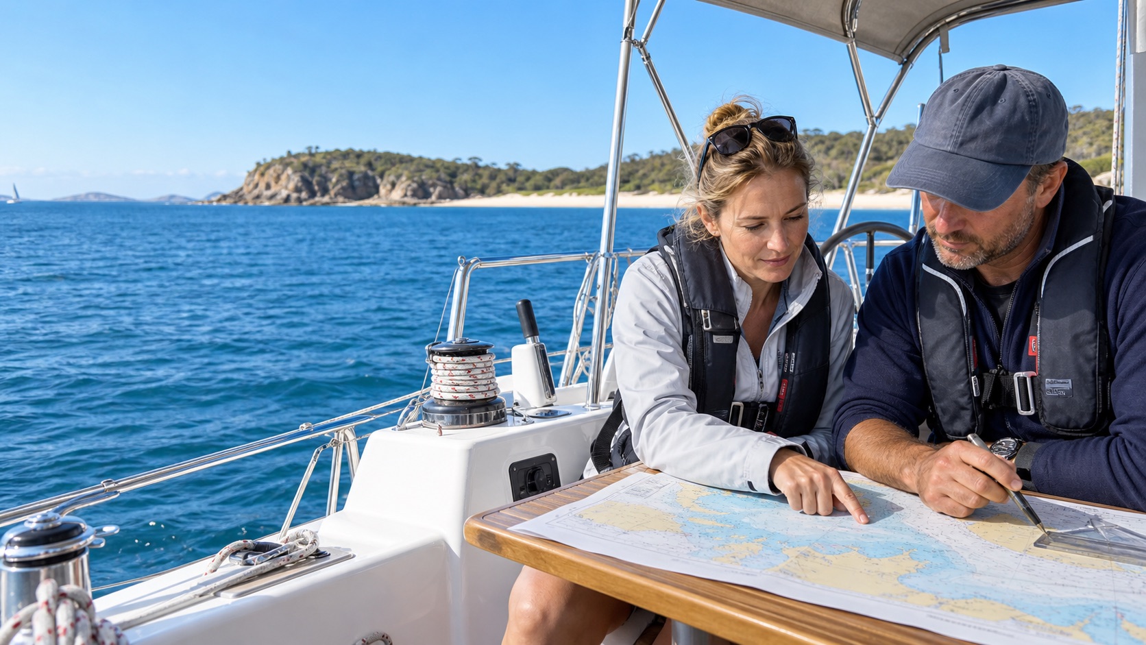
GPS tells you where you are. Navigation is knowing where you will be, whether that is safe, and what to do when the screen goes dark — which is the entire reason the skill is still examined.
Three kinds of position
- Dead reckoning (DR) — course steered and distance run through the water, nothing else. Plotted with a dot and a single half-arrow.
- Estimated position (EP) — the DR corrected for tidal set and drift, and under sail for leeway, the angle the boat is blown sideways off her heading. Plotted with a dot and a triangle. Leeway is estimated from the angle of your own wake and runs from nothing on a run to well over ten degrees hard on the wind in a seaway.
- Fix — an observed position from bearings, ranges or GPS. Plotted with a dot in a circle.
Getting a fix without GPS
- Three-point fix. Near-simultaneous compass bearings of three identified charted objects. In practice the three lines form a small triangle — the cocked hat. The taught convention: assume you are at the corner of the cocked hat nearest the greatest danger.
- Running fix. Only one object available. Take a bearing, note the log and time, run on, take a second bearing of the same object, then advance the first position line along your track by the distance run. Where it crosses the second bearing is your fix — only as good as your course and speed made good.
- Transit. Two charted objects in line give a position line with no compass involved, and therefore no compass error. Transits are used three ways: as a precise position line, as a steering line into a harbour (the leads), and to check your compass deviation by comparing the transit's charted bearing against what your compass reads.
- Clearing bearing. A single bearing drawn on the chart that defines the edge of safe water — "keep the lighthouse bearing more than 045° and you will clear the reef". You never need a full fix, only to keep the bearing on the safe side. The most under-used tool in coastal pilotage.
Course to steer
The vector triangle, drawn on the chart, is the classic exam question. Plot the ground track you want from A to B. From A, plot the tidal stream vector for one hour — direction it sets, and its rate. From the end of that vector, swing an arc equal to your boat speed through the water until it cuts the ground track. The line from the end of the tide vector to that intersection is the course to steer. Where the arc cuts the ground track gives your speed made good, and therefore your ETA. Add leeway on top if you are sailing to windward.
Run it in reverse and you get set and drift: compare a good fix against the DR you had been keeping, and the difference over the elapsed time is the current you have actually experienced — more useful than any tidal atlas for the next few hours.
True, magnetic, compass
Variation is the angle between true and magnetic north at a place and date, printed on the chart's compass rose with its annual rate of change. Deviation is the extra error your own vessel's magnetic and electrical fields induce, different on every heading, read from that vessel's deviation card.
Australian variation deserves particular attention because it is large and it changes sign across the continent. Perth sits at roughly 1.5° west; around the WA–SA border it passes through zero; Sydney is about 12.8° east and Tasmania higher again. A navigator trained on British charts, where variation is a small westerly number, will get the sign wrong here. The old mnemonic still works: converting true to compass, add west; converting compass to true, add east.
The 1-in-60 rule
One degree of error puts you one mile off track after sixty miles. Rearranged, it is the fastest mental correction in navigation: error in degrees = (distance off track ÷ distance run) × 60. Three miles off after ninety miles run is a two-degree error. To regain track over the next thirty miles, alter six degrees. Use it to sanity-check the cross-track error your plotter is already showing you.
The passage plan
Australian and RYA courses teach the same four-stage structure the commercial world uses, adapted from the IMO guidance behind SOLAS Chapter V: appraisal, planning, execution, monitoring.
- Appraisal. Gather everything: charts at the right scale and datum, tide tables and atlas, sailing directions, the forecast and the outlook beyond it, notices to mariners, and an honest assessment of the boat's range and the crew's experience.
- Planning. Lay off the route — waypoints, courses, distances, clearing bearings past dangers, the light characteristics of every mark you will see at night, tidal gates and the windows they open, ETAs leg by leg, fuel, radio schedules, and — the part most often skipped — the bolt holes: alternative ports of refuge, with their own entry hazards noted, that you can reach if things go wrong.
- Execution. Brief the crew before you slip: watch system, roles, where the safety gear lives, the man-overboard procedure, and the conditions under which you will turn back.
- Monitoring. Fix and compare against the plan continuously. Check each tidal gate against your actual ETA, not your planned one.
Fuel planning has one durable rule: a third out, a third back, a third in reserve. For a coastal passage under power, plan consumption and then add at least twenty per cent for headwind and foul tide, on top of the unusable fuel in the bottom of the tank.
The Australian Hydrographic Office produces the official paper charts and the AusENC electronic navigational chart service. Modern Australian charts use Lowest Astronomical Tide (LAT) as chart datum, but older charts may use Indian Spring Low Water or Mean Low Water Springs — check the datum on the chart itself before you do any tidal arithmetic. Charts are corrected through Notices to Mariners; an uncorrected chart is a hazard, and "my plotter updates automatically" is only true if you have actually paid for and applied the updates.