
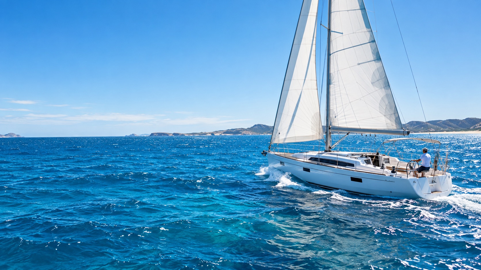
A skipper trained entirely in the Whitsundays has never handled a cold front; one trained only on Sydney Harbour has never planned a passage around a tidal gate. Choose the ground for the gap you need to close.
Sydney Harbour, Pittwater & Broken Bay
Deep, sheltered, exceptionally well marked, and dense with ferry and commercial traffic — which is exactly the point. The harbour teaches collision avoidance, close-quarters manoeuvring and berthing under scrutiny, with a tidal range of only about 1.2–1.5 m and little sea state to complicate it. Pittwater offers quieter water for anchoring and mooring practice. Broken Bay puts you in reach of genuine ocean swell within an hour. Most RYA schools are based out of Rushcutters Bay for precisely this combination: flat water for the basics, open ocean just outside the Heads.
Traffic, boat handling, year-round availability
Summer southerly busters; afternoon nor'easters
The Whitsundays & the Great Barrier Reef
One of the world's gentlest cruising grounds: warm water, 10–20 knot south-easterly trades strongest from June to August, island shelter, and short wind-against-tide chop rather than ocean swell. The real lesson here is tidal, not meteorological — a range of roughly 2–4 m drives hard streams through the passages between islands, so passage planning is built around tide rather than weather. Add coral pilotage, AusENC charts, and anchoring among bommies — increasingly on public moorings, because Chapter 21's reef zoning restricts where you may drop.
Liveaboard and passage skills, tidal planning, first charter
Cyclone season closes the bareboat trade Nov–Apr
Moreton Bay & the Gold Coast
Large, shallow and semi-sheltered behind Moreton and Stradbroke — much of the bay is under 5 m, so it teaches you to read charted depth against real depth and to take sandbanks seriously. Then, on its edge, three of the country's best-known bar crossings: the Gold Coast Seaway, Jumpinpin and South Passage. The Seaway is the most forgiving and still breaks in an onshore wind over an outgoing tide; Jumpinpin and South Passage shift, and are properly dangerous.
Shallow-water pilotage, trailer-boat handling, supervised bar work
Summer storms; the ebb-tide trap on every bar
Port Phillip, the Rip & Gippsland
Port Phillip Bay is roughly 1,930 km² of mostly flat water — superb for dinghy and keelboat training out of the Melbourne clubs. Its single narrow entrance, the Rip at Port Phillip Heads, is another matter: reef-strewn, with tidal streams strong enough to stand the swell up into breaking water, and compulsory sea pilots for ships. The ORCV runs dedicated Rip Tour courses teaching recreational skippers to read the tables and time a transit — a clear signal that the skill being taught is planning, not throttle work. Western Port is shallower and more tidal; the Gippsland Lakes offer sheltered cruising behind a genuinely difficult entrance bar at Lakes Entrance.
Tidal gates, cold-front weather, real consequence management
The Rip on an ebb against a southerly swell
Gulf St Vincent & Spencer Gulf
Two long, narrow, comparatively shallow gulfs, part-enclosed by land. Gulf St Vincent is Adelaide's home water and the calmer of the pair — club racing and learn-to-sail country, and the home of the dodge tide described in Chapter 8. Spencer Gulf is larger, more exposed at its mouth, and carries far more commercial traffic to the grain and mineral ports. Conditions in both are moderate until a Southern Ocean cold front arrives, at which point they change sharply. The Bureau issues a dedicated coastal waters forecast for each gulf.
Uncrowded water, commercial traffic awareness
Fast-moving frontal changes; the gully winds at dusk
Swan River, Fremantle, Rottnest & Geographe Bay
The Swan is flat and sheltered — ideal for first lessons. The Fremantle-to-Rottnest run, about 19 km, is the classic step up: open water, a working shipping channel at the harbour entrance, and the Fremantle Doctor, arriving between mid-morning and mid-afternoon at 15–20 knots, peaking in December and January. It is the best-behaved strong wind in Australia: reliable, predictable, on a schedule — which makes it an unusually low-risk way to learn heavy-air sail handling. Geographe Bay adds sheltered cruising with Southern Ocean swell wrapping in from the west. Note the tide: at half a metre, Fremantle is micro-tidal, so wind and pressure move the water more than the moon does.
Building breeze on a timetable
Plan the return before the Doctor fills in
The Derwent, D'Entrecasteaux & Bass Strait
A three-stage ground. The Derwent is a sheltered estuary with real tidal influence near Hobart. The D'Entrecasteaux Channel, between Bruny Island and the mainland, is protected cruising water and the natural stepping stone. Then Bass Strait, which is a different proposition entirely: shallow at mostly 50–70 m, with westerly systems funnelling between the mainland and Tasmania over a strong current, producing sea states out of all proportion to the distance. Crossing it is advanced offshore passage-making, not an intermediate exercise.
Cold-water seamanship, genuine offshore progression
A serious ocean passage in a short package
Darwin & the Top End
Everything here bends around tide. Darwin springs can exceed 7–8 m, among the largest ranges in the world, governing mooring, anchoring arithmetic, channel currents and even boat-ramp timing. Estuarine crocodiles are present throughout, including the harbour, which changes practical seamanship in a way no other Australian ground does — nobody swims to clear a fouled prop or check an anchor. The build-up from roughly October brings heat and storms; the wet from December brings monsoon squalls and cyclone risk. Training concentrates in the dry, May to September. And there is no licence, no registration, no alcohol limit and no random breath testing here — the self-discipline is entirely yours.
Extreme tidal work, self-reliance
Crocodiles, the wet, and eight metres of vertical water
When the seasons let you train
| REGION | JAN | FEB | MAR | APR | MAY | JUN | JUL | AUG | SEP | OCT | NOV | DEC |
|---|---|---|---|---|---|---|---|---|---|---|---|---|
| Whitsundays & Reef | cyclone | cyclone | cyclone | cyclone | peak | peak | peak | peak | peak | good | cyclone | cyclone |
| Darwin & Top End | wet | wet | wet | wet | dry | dry | dry | dry | dry | build-up | build-up | wet |
| Moreton Bay & Gold Coast | fair | fair | good | good | good | good | good | good | good | good | fair | fair |
| Sydney & Pittwater | good | good | good | good | fair | fair | fair | fair | good | good | good | good |
| Port Phillip & Gippsland | good | good | good | fair | fair | cold | cold | cold | fair | good | good | good |
| Fremantle & Rottnest | good | good | good | good | fair | fair | fair | fair | good | good | good | good |
| Tasmania | good | good | good | fair | cold | cold | cold | cold | fair | good | good | good |
The official Australian tropical cyclone season runs 1 November to 30 April, though systems form outside it, as the 2025–26 season demonstrated with activity in mid-July 2025. North of a line running roughly from Exmouth in WA to Hervey Bay in Queensland, and across the whole Top End, charter operators restrict bareboat availability, raise insurance excesses, or close outright. Assume the northern training and charter season is May to October and plan from there.