
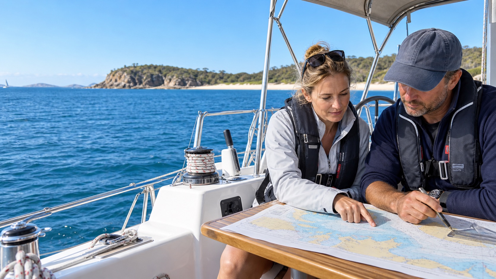
Australia has the full range: harbours where the tide barely moves, gulfs where it cancels itself out entirely for a day, and a sound in the Kimberley that rises eleven metres. The arithmetic is identical everywhere; the consequences are not.
The three numbers that matter
- Charted depth — what the chart prints, measured below chart datum. On a modern Australian chart that datum is Lowest Astronomical Tide, so the charted depth is close to the worst case.
- Drying height — printed underlined, the height a bank or rock dries above datum. It is exposed at low water.
- Height of tide — the actual rise above datum at a given moment, from the tide tables.
From which: actual depth = charted depth + height of tide. Over a drying feature, actual depth = height of tide − drying height. And clearance under the keel = actual depth − draught − a margin for swell, squat and chart error. That chain of four sums is the single most examined piece of arithmetic in coastal skipper training, because it is the one that answers "can I cross the bar at four o'clock".
The rule of twelfths
Between high and low water, the tide does not move at a constant rate — it accelerates through the middle hours. The rule of twelfths divides the range across six hourly intervals in the ratio 1: 2: 3: 3: 2: 1. Half the total range moves in the two middle hours.
A three-metre range falls 250 mm in the first hour, then 500, then 750, 750, 500, 250. It is an approximation that assumes a six-hour, roughly sinusoidal tide — use the published tidal curve for the port when the margin is thin, and remember that if you ground on a falling tide you may be there until the next one.
Standard and secondary ports
Tide tables give full daily predictions for standard ports. Everywhere else is a secondary port, listed as time and height differences applied to a nominated standard port — plus forty minutes on high water, minus 0.4 m on the height, and so on. Australia's official predictions come from the Australian Hydrographic Office's Australian National Tide Tables and the Bureau's National Tidal Centre, with state authorities publishing regional versions.
Australia has all three tidal patterns
This is where RYA material, written for the reliably semidiurnal British coast, stops matching the country you are sailing in.
- Semidiurnal — two highs and two lows of similar height each day. Most of the east coast, and the south.
- Diurnal — one high and one low a day. Parts of the Gulf of Carpentaria and the north-west approaches.
- Mixed — two tides a day of markedly unequal height, the "big tide, little tide" pattern. Much of the north and north-west, and South Australia's gulfs.
| PLACE | SPRING RANGE | WHY IT MATTERS |
|---|---|---|
| King Sound / Derby, WA | up to ~11 m | The largest range in Australia and the Southern Hemisphere. A broad shallow shelf funnels the tidal wave into a narrowing sound, amplifying it enormously. |
| Broad Sound, QLD | ~9–10 m | The largest range on the east coast, by the same funnelling mechanism. |
| Darwin | ~7–8 m | Governs mooring, anchoring arithmetic, channel currents and even boat-ramp timing. |
| Whitsundays | ~2–4 m | Drives hard streams through the island passages — here you plan around tide, not weather. |
| Sydney | ~1.5 m | Small enough that most harbour sailing ignores it, which is exactly how people get caught on the bar at Broken Bay. |
| Hobart | ~1.3–1.5 m | Modest range, meaningful stream in the Derwent. |
| Fremantle | ~0.5–0.6 m | Micro-tidal. The coast sits near a nodal region for the dominant constituents, so wind and barometric pressure routinely move the water more than the moon does. |
| Gulf St Vincent, SA | small, irregular | Home of the dodge tide — see below. |
In Gulf St Vincent the two principal semidiurnal constituents are nearly equal in size, and around neaps they fall close to opposite in phase and cancel each other out. The result is a day or more of near-flat water with only a small, irregularly timed rise and fall — the "dodge tide". It is a genuine local navigational phenomenon, not folklore, and it is the clearest possible demonstration that a tide is the sum of components rather than a single wave.